
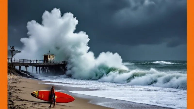
A powerful Category 5 hurricane, Hurricane Polo, has rapidly intensified off Mexico’s coast, prompting warnings of potential, though less drastic, impacts for Southern California’s already-battered coastline. According to an advisory issued Tuesday afternoon by the National Hurricane Center, Polo is expected to remain “extremely dangerous” for the next several days as it continues its northwestward movement.
The hurricane, the 16th named storm in the eastern Pacific this year, is still strengthening. Forecasters attribute this intensity to a “very conductive environment,” characterized by low wind, exceptionally warm ocean waters, and abundant moisture, suggesting even further strengthening is possible. Maximum winds with the storm were reported at 180 mph by the center.
While the storm is anticipated to remain offshore, it is expected to bring heavy rainfall to coastal areas of southwestern Mexico through Thursday. The National Hurricane Center has issued tropical storm warnings for portions of the region, cautioning that life-threatening flooding and mudslides, particularly in steep terrain, could occur.
For Southern California, the effects are expected to be significantly less severe, according to forecasters. However, there are ongoing concerns regarding coastal impacts. Bryan Lewis, a meteorologist with the National Weather Service in Oxnard, indicated on Monday that Polo could draw tropical moisture into the region, depending on atmospheric patterns. Previous Pacific storms, such as Hurricane Marie, have previously brought unusually warm, humid air to the area.
On Tuesday afternoon, Mr. Lewis noted a 5% chance of rain in Los Angeles County, contingent on the hurricane’s precise path. The more significant worry for local residents and businesses, he stated, is the potential for high surf and high tides to coincide next Monday and Tuesday. This combination could lead to coastal flooding, a particular concern for vulnerable areas.
The National Weather Service in Los Angeles also forecasted elevated surf and strong rip currents at beaches this weekend and into next week. These conditions are expected as a result of multiple southerly swells impacting the coast. Mr. Lewis highlighted the cumulative effect, remarking that “after almost an entire summer of southern swell after southern swell, there could be some issues for those vulnerable coastlines.”
Local communities have already faced significant challenges from earlier Pacific storms this year. Multiple counties and towns, including Laguna Beach, Dana Point, and Carlsbad, declared local emergencies in response to high surf that caused coastal erosion and substantial sand loss. These declarations underscore the practical costs and direct impact on local infrastructure and property owners from such weather events.
The current hurricane season in the eastern Pacific is unusually active, a pattern typically associated with El Niño conditions. This year’s El Niño is predicted to be the strongest in at least a generation, often leading to heavy winter rainfall in Southern California. In anticipation of forthcoming winter storms, Governor Gavin Newsom has already declared a statewide emergency, citing fears that the weather pattern could bring high surf and high-impact storms across the state. This proactive measure reflects the serious consideration given to protecting residents and property from severe weather.